Two Peaks Walk: Mynydd Troed & Mynydd Llangorse (Brecon Beacons)

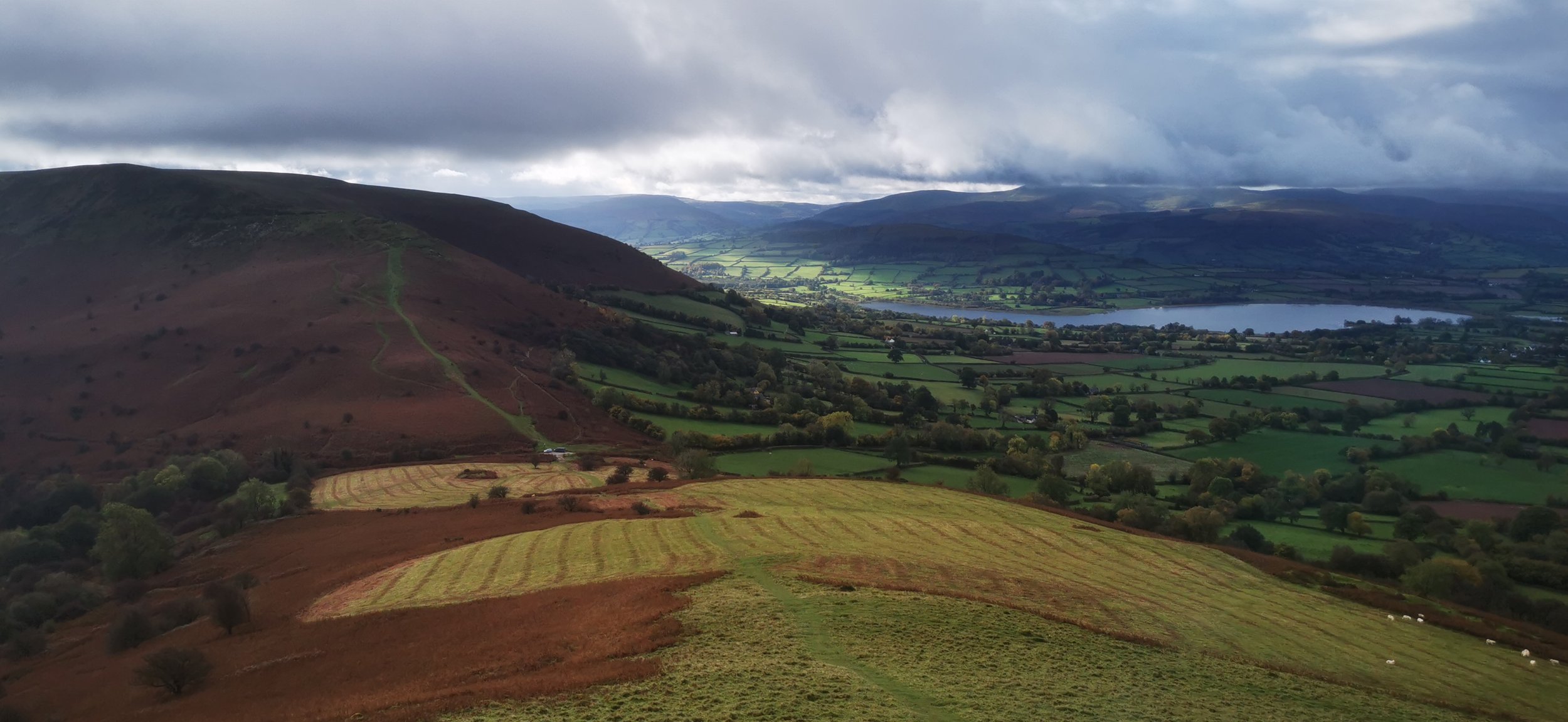
Looking back at Mynydd Troed from Mynydd Llangorse
Off most visitors’ radars, the two peaks of Mynydd Troed and Mynydd Llangorse, outliers of the Black Mountain range, offer quieter walks, with the same airy views as higher peaks in the National Park. This twin-peak, figure-of-eight route is great for if you’re short on time but want a good hill climb and skyline walking.
Need to Know
Best time to walk: Great all year round, can be very muddy at times and bear in mind very steep slopes for snow / ice conditions.
Map: OS Explorer, OL 13 for this route
Start: Cockit hill near Llangors, grid ref: SO 161 283
End: Back to start
Distance / Time: 6.5 km / 4 miles, 2.5 - 3 hours.
Ascent: 450m
Transport / Parking: Parking for 3 cars in pull-in at start point. Avoid parking blocking gates or passing places. Narrow lane to be negotiated to this point! Nearest train station is Abergavenny. Bus X12 runs between Abergavenny and Builth Wells calling at Llangors on Tuesdays and Thursdays. Then walk 3km (188m ascent) to join the walk.
Food / Drink / Supplies: Pubs and Cafes in Llangors.
The Route
View route map (you will need an OS Maps online account to access it.)

Looking up at Mynydd Troed
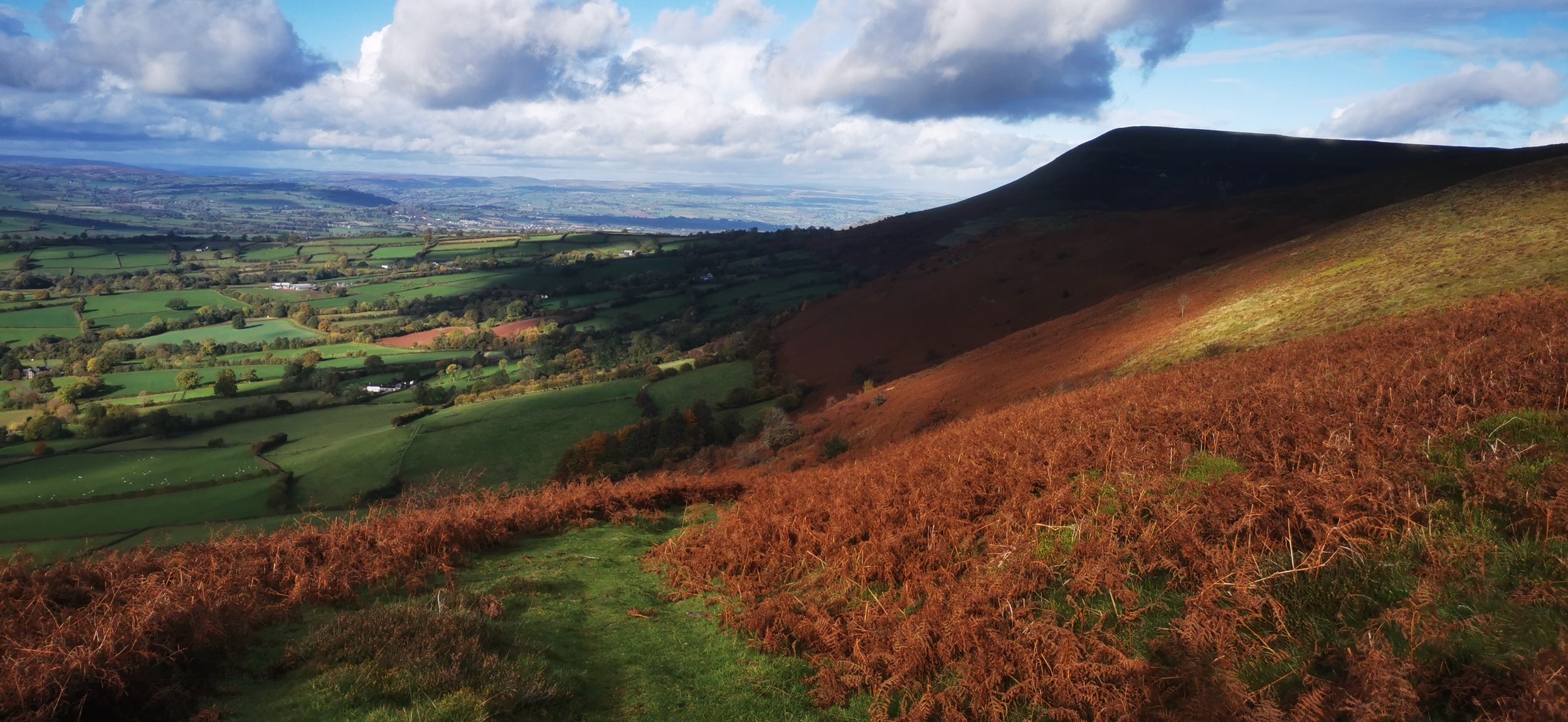
From the lane that crosses the saddle between Mynydd Troed and Mynydd Llangorse, head through the gate leading north. Climb uphill through a large open area of bracken-laden hillside; the climb becomes much steeper. Take a breather looking towards Llangors Lake and the central Beacons mountains behind.
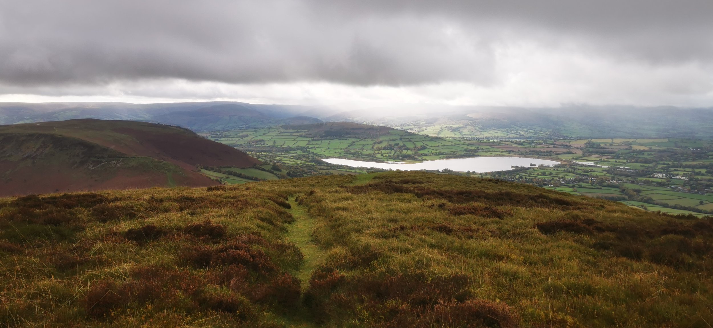
Looking back to Llangors lake and Mynydd Llangorse

The route splits, with a much steeper path directly up ahead, and a more gradual track to your left and right. Take the right track and continue climbing, now more gradually, before the path flattens out and veers left to reach the summit trig point. From here in clear weather you’ll have fantastic views over the Black Mountains.

Trig point on Mynydd Troed
From the trig point, take the track leading south-west (in good visibility it heads towards the lake). The path descends steeply in places - in wet and muddy conditions you’ll need to take care. Then you’ll reach the track you turned onto earlier. Turn right, heading north west downhill for a gentler descent that returning on the route you came up. This path follows a ditch down the hillside then switches back south just as you reach the bottom. Walk directly south around the base of the hill on a quad track to return to the lane.


Cross the lane and climb directly and steeply south, keeping to the top of the ridge for the best views.

View over Llangors lake and village with Pen y Fan behind

Path along the summit plateau, looking back north to Waun Fach and Pen y Gadair Fawr
The path curves round the broad plateau, with the summit spot height not easily discernable. There are a few boggy ponds which mark the approximate summit, just beyond a pile of stones which are not marked on the map. If you’re a trig bagger then you could continue south west for just over half a kilometre to reach a trig point.
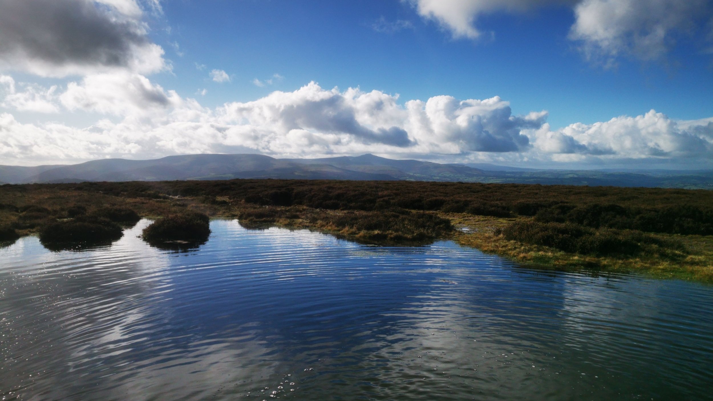
Summit bogs with Pen y Fan in the distance

Return to the pile of stones then walk downhill north-west, until you reach a stone wall at the bottom. Turn right here, and follow it northwards to return to the lane at Cockit hill, where you began.

The track which leads back to the start point (on the Three Rivers Ride)
Please note this route is for information and inspiration only and we can’t be held responsible for any inaccuracies or problems arising. As this is rough, open hill & moorland terrain you should take a paper map and compass and be able to use them. Please be Adventure Smart.