Pen y Fan: Northern Circular with Llyn Cwm Llwch
This is a fantastic alternative route to the main paths from Pont ar Daf and Storey Arms. Approaching from the north means more ascent but the scenery is spectacular, plus it includes two ridge walks and a visit to the glacial lake below Corn Du.
A version of this walk can also be found in my guidebook Wild Swimming Walks South Wales
Need to Know
Best time to walk: Great all year round. Bear in mind very steep slopes for snow / ice conditions.
Map: OS Explorer, OL 12 for this route
Start: Cwm Gwdi car park grid ref: SO 025 249
End: Back to start
Distance / Time: 12km / 7.5 miles, 4-6 hours.
Ascent: 700m
Transport / Parking: National Trust car park in Cwm Gwdi - pay & display or members park for free. Can also walk in from Brecon to join the route which adds on another 2 miles each way.
Food / Drink / Supplies: Brecon.
The Route
View route map (you will need an OS Maps online account to access it.)
The entrance to Cwm Gwdi car park
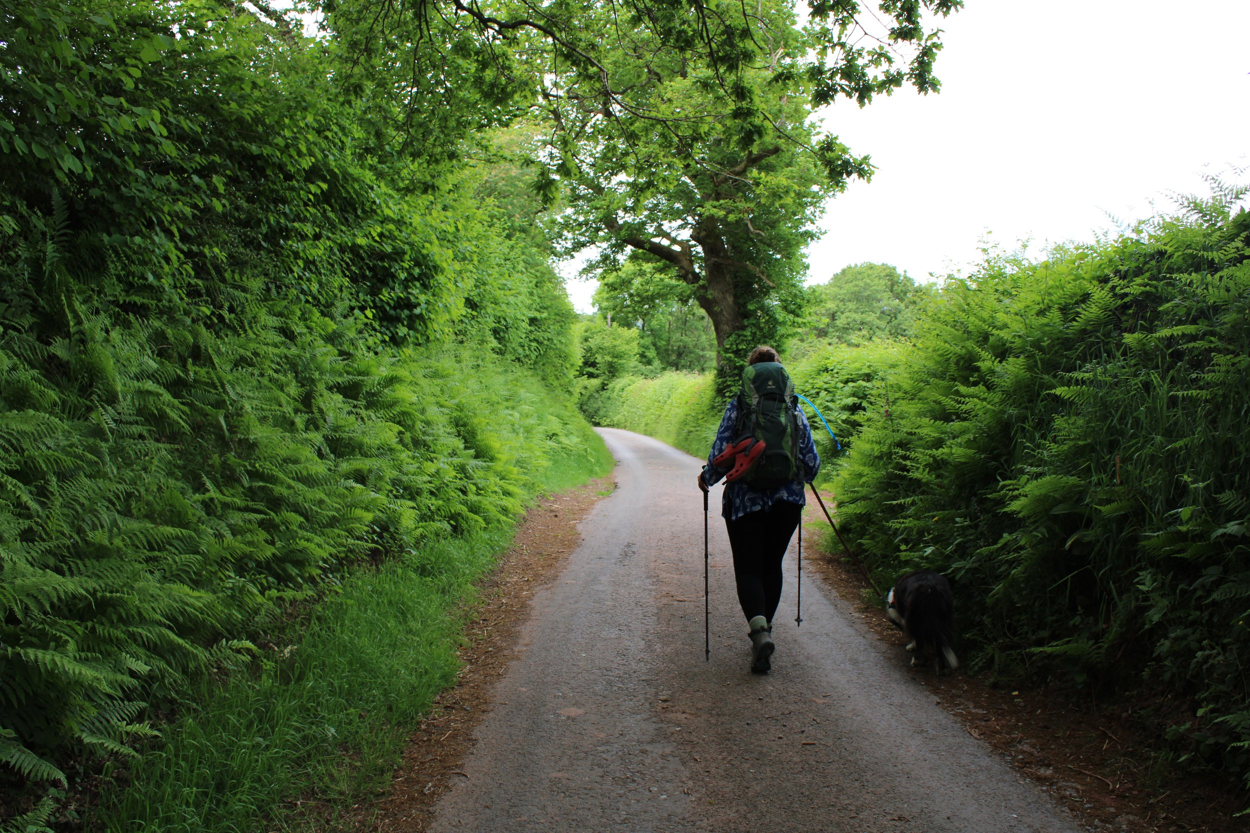
Walking along the lanes to Cwm Llwch
Leave Cwm Gwdi car park via the entrance onto the road and turn left. The road crosses a stream and there is a turning left to Cwm Llwch.
The trail alongside Nant Cwm Llwch
The track onto open hillside with the twin peaks of Pen y Fan (left) and Corn Du (right)
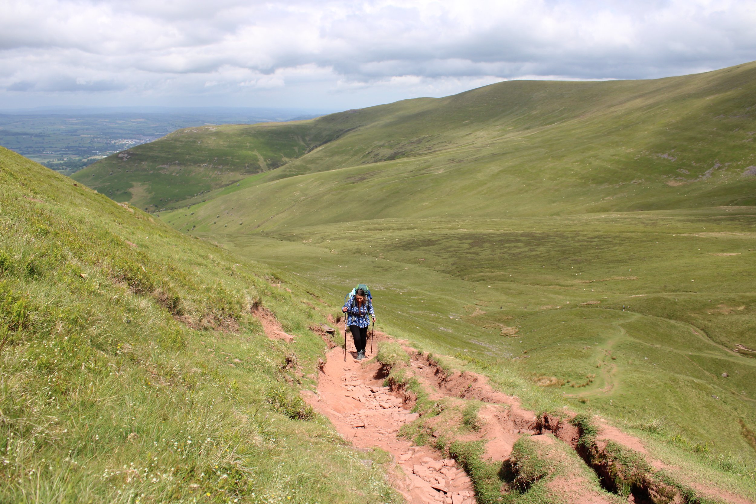
Follow the lane into a field where there are sometimes cars parked and tent camping. Continue on the track alongside the stream, around the farm buildings, over a stile then onto open terrain. Follow a well worn path steeply uphill, keeping the two main streams to your left, with a smaller one on the right. Head towards the banks of glacial moraine to the right of the main headwall of Corn Du to reach the lake.
Llyn Cwm Llwch below Corn Du
Climbing up from the lake
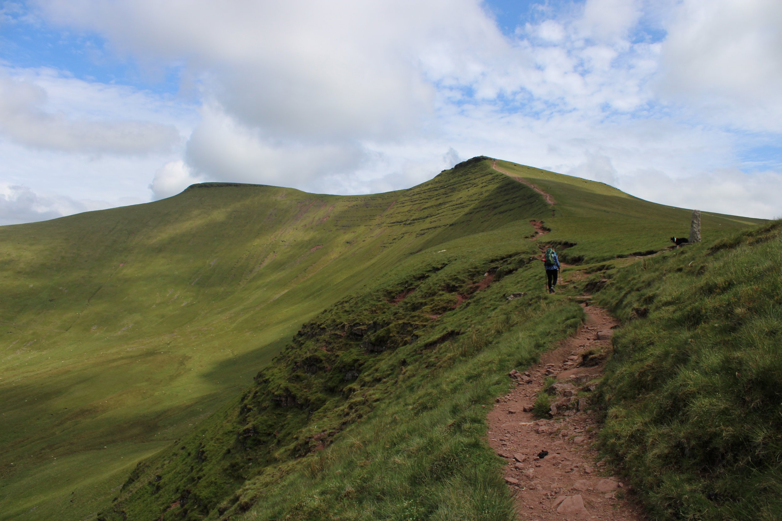
Following the path to Corn Du
From the lake, follow a steep and eroded path uphill onto the ridge. Follow the path along with the edge of the steep ground on your left, past the Tommy Jones obelisk, before a final steep climb onto the summit of Corn Du.
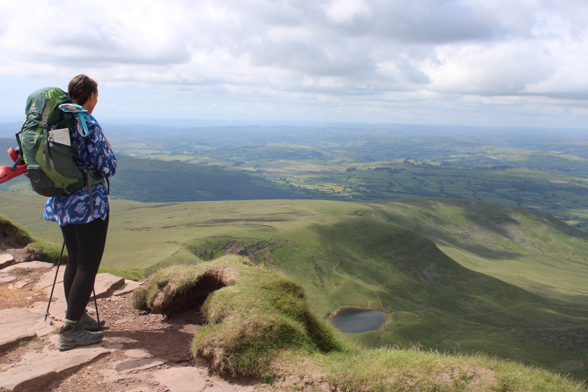
On the summit of Corn Du looking back to the lake
The summit of Pen y Fan
Descend Corn Du, keeping the steep drop on your left. Continue north-east to the summit of Pen y Fan. At the summit cairn, look carefully for the path which descends to the ridge of Cefn Cwm Llwch. It is eroded and needs care in descending.
Descending Pen y Fan onto Cefn Cwm Lwch
Looking back to Pen y Fan (centre) and Corn Du (right) with Cribyn visible (left)
Keep to the top of the ridge, and as the descent becomes steeper once again, take the northerly path downhill, which skirts to the east of the quarries and Twyn Cil-rhew. The track becomes rockier and descends with Nant Gwdi to the east. Reaching a field at the bottom, head towards the trees and a gate back into the Cwm Gwdi car park.
Returning to Cwm Gwdi
Please note this route is for information and inspiration only and we can’t be held responsible for any inaccuracies or problems arising. As this is rough mountain terrain you should take a paper map and compass and be able to use them. Please be Adventure Smart.


