Black Mountains Day Walk: Pen Cerrig Calch & Pen Allt Mawr
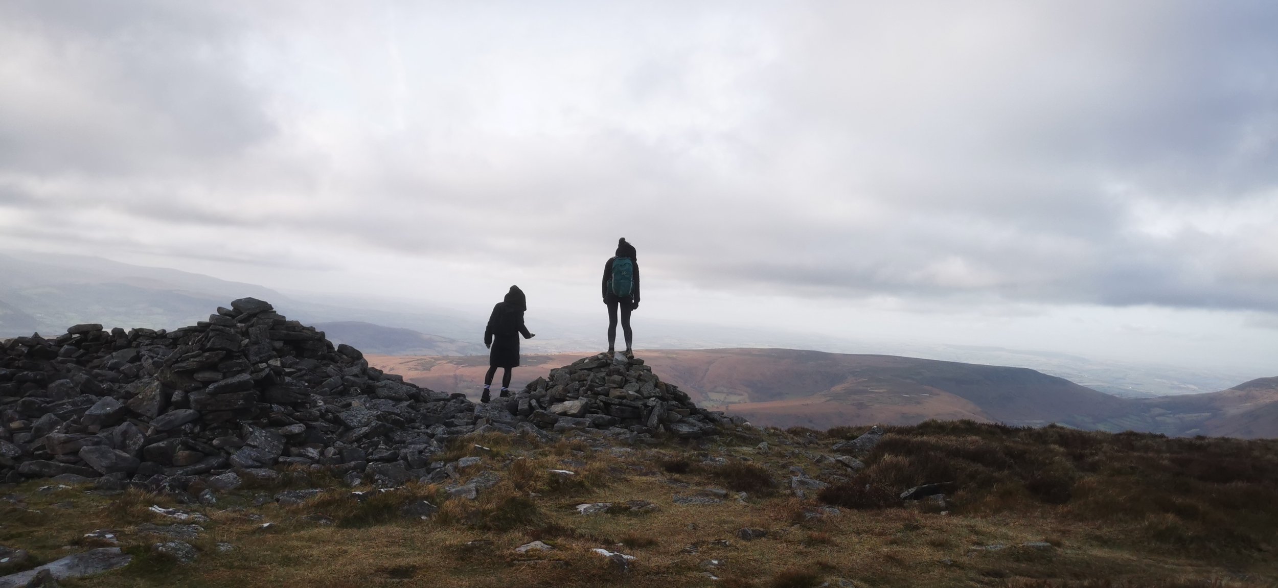
A lovely route straight into the Black Mountains from Crickhowell, with plenty of time up high and special views over the Usk Valley. If that’s not enough you’ll also encounter large prehistoric cairns and an Iron Age hillfort.
Views over the beautiful Usk Valley
Need to Know
Best time to walk: Great all year round. Can be boggy and muddy. Bear in mind steep slopes for snow / ice conditions.
Map: OS Explorer, OL 13 for this route
Start: Crickhowell main road: SO 217 186
End: Back to start
Distance / Time: 15.5km / 9.5 miles, 5-6 hours.
Ascent: 700m
Transport / Parking: The X43 stops at Crickhowell between Abergavenny (where you can get the train) and Brecon (bus connections). Crickhowell has a pay & display car park at Beaufort Street, or you may be able to park in the school car park on weekends.
Food / Drink / Supplies: Crickhowell has a few good options for food. The Bear is a cosy, historic pub, or the cafe at Bookish serves delicious lighter bites and coffee.
The Route
View route map (you will need an OS Maps online account to access it.)
Walk west along the main road through Crickhowell, past the petrol station and turn right next to the school. Head uphill through houses until you reach a lane and a farm ahead. Cross the lane and take the path heading into the farm buildings, then into a field where you may see some highland cows.
Continue through some fields keeping to the left boundary, then take the gate into the woods on your left. Climb uphill with the Cumbeth brook on your left. Leaving the trees, cross the brook and continue uphill through a meadow with the brook now to your right. At the top you’ll reach a stone wall with a gate.
Looking back to Cwm Cumbeth, below Crug Hywel hillfort, visited later in the walk
Welsh mountain ponies just below the Darren
Go through the gate in the wall and turn left, walking westwards, and taking the higher path, which can be a little indistinct, but heading below the Darren; the rocky outcrop to your right. Continue past the base of the outcrop, then a clearer path heads uphill, first east then north. Once you’re on the top, bear east, keeping the edge of the steep ground on your left, with the plateau to your right. Continue until you reach the large cairns at Pen Gloch-y-Pibwr.
Looking back to the slope climbed
Views over the Usk valley
Cairns at Pen Gloch-y-Pibwr
Head north now, keeping the steep ground still to your left. Pass another large cairn, and continue until you reach the trig point and cairn at Pen Allt-mawr, the highest point on the route.
Turn south-east, then south, with steep ground to your left. Continue ahead until the path veers more southerly, crossing the centre of the plateau to reach the rockier summit of Pen Cerrig Calch, with another trig point set in the centre of the wide top.
Views over to Sugarloaf / Pen y Fal on the descent
From here head south east, then south-south-east, on a gradual gradient at first, becoming steep after Trwyn Ysgwrfa, as the path heads downhill then directly south to Crug Hywel; locally known as Table Mountain.
The easiest way down is to circumnavigate below the east side of the fort, passing a small stand of conifer trees then nearing a stone wall, heading through a gate onto a track through trees and past an old farm building. The path then turns abruptly south, downhill through fields, keeping close to the boundaries on the left. At the bottom of the third field, turn left on a track then right again and through a meadow to meet a lane next to Ty-yn-y-wlad.
Turn right on the lane, following it downhill, and taking a right hand turn at a junction with another narrow lane. Continue downhill on the pavement past houses to return to the main road in Crickhowell.
Please note this route is for information and inspiration only and we can’t be held responsible for any inaccuracies or problems arising. As this is rough mountain terrain you should take a paper map and compass and be able to use them. Please be Adventure Smart.


