Snowdonia Day Walk : Moel Siabod
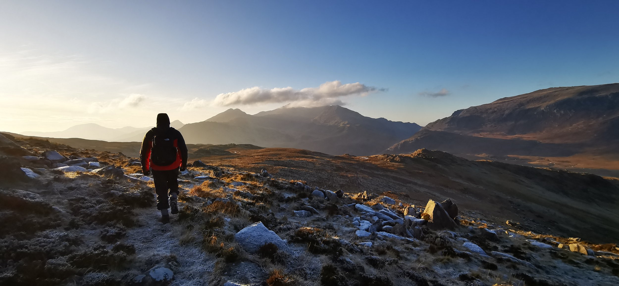
Looking towards the Snowdon Horseshoe from Moel Siabod
The highest peak of the Moelwynion, Moel Siabod stands as an outlier to the higher Snowdonian mountain ranges, and is all the better for it. With panoramic views and an airy summit, this is a beautiful and relatively straightforward linear day walk in Snowdonia, connected by public transport either end.
Need to Know
Best time to walk: Winter for panoramic views of the higher snow-capped mountain ranges.
Map: OS Explorer, OL 17 for this route
Start: Capel Curig
End: Pen y Gwyryd
Distance / Time: 9.5km / 6 miles
Ascent / Descent: 700m
Transport / Parking: Snowdonia Sherpa S2 runs between Pen y Gwyryd and Capel Curig connecting this linear walk. Top tip - take the bus at the beginning of your walk rather than at the end.
Food / Drink / Supplies: This route has been designed so you can have breakfast at the fantastic Caffi Siabod, and end up in the Pen y Gwyryd hotel for a drink at the end! Nearest shop in Betws y Coed or Llanberis.
The Route
The Afon Llugwy at Capel Curig
Begin your walk at Caffi Siabod. It’s well worth fuelling up with a hearty walker’s breakfast here before setting off! Cross the road and head for the bridge directly opposite. Follow the track into the woods, then take a right when you reach the junction of tracks. Follow the forestry track for a few hundred metres, branching left and uphill when you reach another fork. Follow this track along, and you’ll need to take another left, following the path more steeply uphill along a stream, through a gate and some stiles.
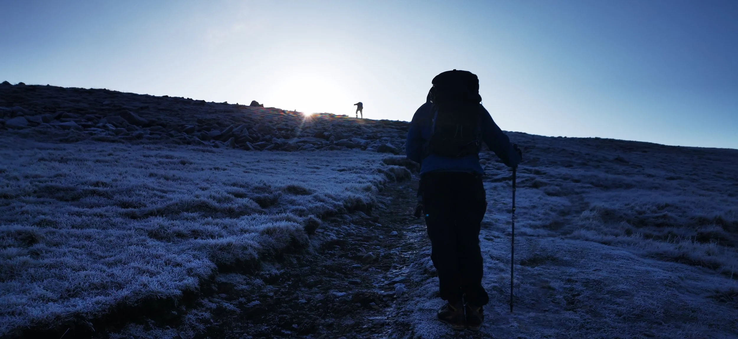
Coming out of the woods onto more open and craggy land, the views will begin to open up, you should be able to see the Snowdon horseshoe before too long. Follow a well defined rocky and in places, eroded path continuously uphill.
Views back towards the village of Capel Curig
After climbing up continuously, you’ll reach the saddle between a lesser peak to the north east, and the summit which is further south west. You’ll pass a stone shelter, and reach the trig point at the top. Congratulations! You’ve made the top! Stop a while if you can and take in the phenomenal views.
At the summit of Moel Siabod
Strong contender for the best view in Snowdonia
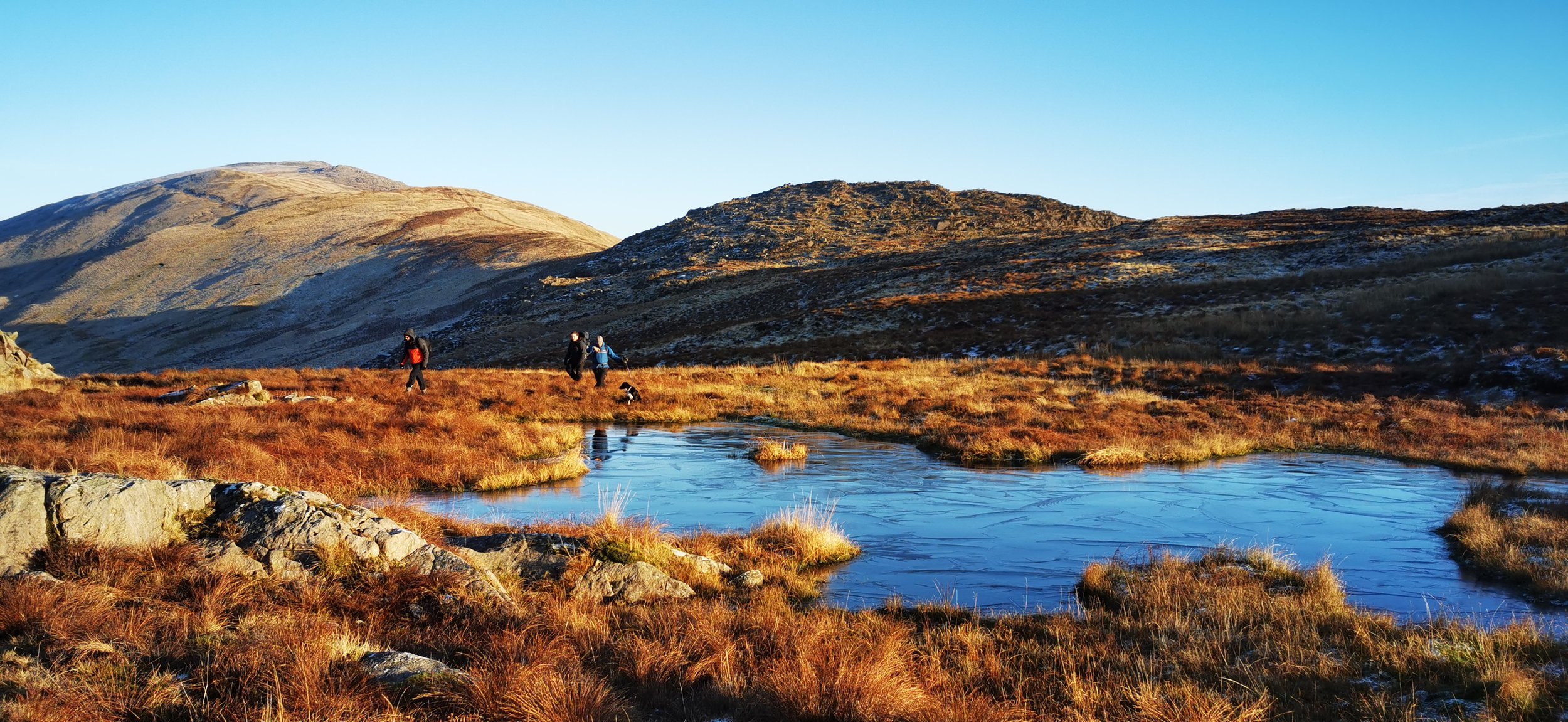
From the summit head west and downhill until you reach a fence. Follow the fence until you meet a junction with another fence. At this point follow the fence line heading for Moel Gid, relax and enjoy the incredible views as you walk gently downhill following the fence all the way to Bwlch Clorad. Climb up a little here, then keeping the steeper, craggier ground to your right, past a small pond.
From here it all gets a bit boggy I’m afraid! You may have to hop a stream or two and navigate some boggy ground. There isn’t a path at this point, so just head for the guiding light of the Pen y Gwyryd pub which looks extremely welcoming by now. Console yourself with the fact that you’ll soon be able to dry your wet feet by the fire, it’d be rude not to stop for a drink, after all.
Please note this route is for information and inspiration only and we can’t be held responsible for any inaccuracies or problems arising. As this is rough mountain terrain you should take a paper map and compass and be able to use them. Please be Adventure Smart.


