Wild Trails Wales Guide: How to see a cloud inversion
Temperature inversion across Eryri (Snowdonia)
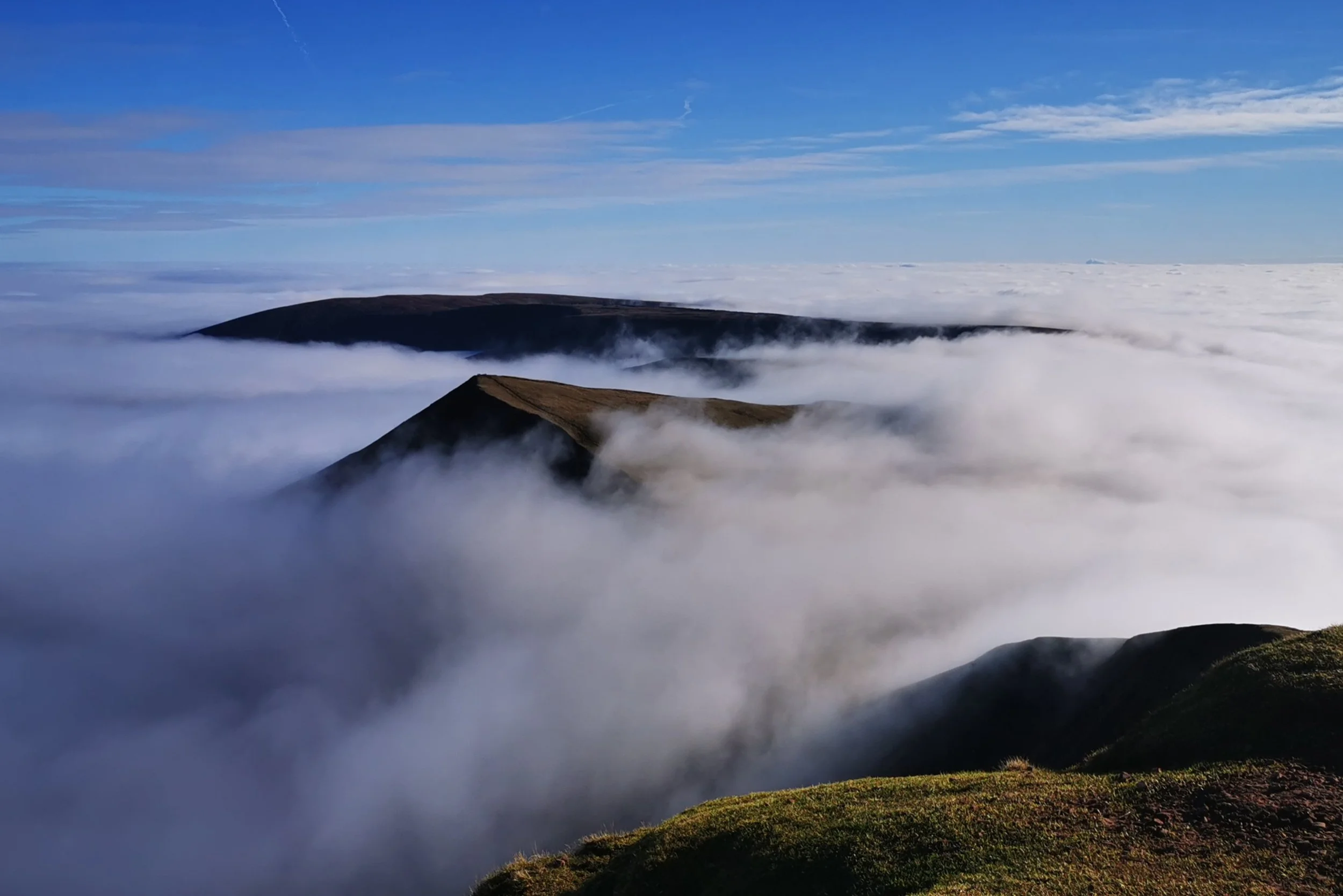
There is nothing quite like the feeling of spending a couple of hours trudging through thick fog, climbing higher and higher until, gradually, the fog takes on a glow, and the dullest white-grey takes on a hint of blue - or was that your imagination? No! The cloud is thinning. A bit higher and now, unmistakeably, there is light shining through above you. Then suddenly, you emerge above the cloud to clear sky and with luck, the bright glint of sunshine. A blanket of cloud sits below you, with peaks rising out all around like islands in an ocean.
A temperature inversion, or cloud inversion as it is commonly called, is one of the most magical spectacles to experience in the mountains. It’s like flying, but with your feet firmly on the ground. Inversions are also typically fickle, and although weather forecasters are able to predict when they might occur, catching one is partly in the forecast watching, partly in experience of knowing where they may occur, and partly luck. The more often you go in search of one, the luckier you’ll get!
Temperature inversion from Pen y Fan, Brecon Beacons
I’m no meteorologist, but my lay-person’s understanding of the specific conditions that form temperature inversions in the mountains is that the temperature in the valleys needs to be colder than on the mountain tops. This can happen on cold, clear nights, typically during a period of high pressure, where a layer of warm air sits on top of colder air and traps it below. Temperature inversions of this type tend to happen more in the colder months, so autumn, winter and spring are the ideal times to go cloud inversion chasing! In my experience, I have found that the clouds tend to build more when the ground is more moist, so when a settled period of high pressure comes in after a there has been plenty of rain. I also find that wetter areas tend to hold colder air and build that low cloud and fog - so areas with river drainage basins, trees, lakes etc. However, don’t hold me to this as without a degree in meteorology I couldn’t say for certain whether this is true!
Temperature inversion on the summit of Aran Fawddwy, Eryri National Park
A good mountain specific weather forecast will hint at inversion conditions, sometimes very accurately, as they have charts which predict the heights at which the layers of air will sit. My favourite for this is MWIS, but also the Met Office Mountain Weather Forecast. When an inversion is forecast I head for the most prominent summits, (the best cloud inversions I’ve seen in Wales have been on Pen y Fan, Cader Idris, Aran Fawddwy and Y Lliwedd). I’m always excited when the visibility is terrible on the climb! Sometimes, it doesn’t pay off and you stand watching the patches of clear sky above, tantalisingly close, but the top of the cloud sits stubbornly just above the peak. This only makes it all the more magical when you finally get to experience it - keep chasing and you will get there!


